
1721 - ca 1862.
The Amsterdam publishing firm of Covens and Mortier (1721 - c. 1862) was the successor to the extensive publishing empire built by Frenchman Pierre Mortier (1661 - 1711). Upon Mortier's death in 1711 his firm was taken over by his son, Cornelius Mortier (1699 - 1783). Cornelius married the sister of Johannes Covens (1697 - 1774) in 1821 and, partnering with his brother in law, established the Covens and Mortier firm. Under the Covens and Mortier imprint, Cornelius and Pierre republished the works of the great 17th and early 18th century Dutch and French cartographers De L'Isle, Allard, Jansson, De Wit, and Ottens among others. They quickly became one of the largest and most prolific Dutch publishing concerns of the 18th century. The firm and its successors published thousands of maps over a 120 year period from 1721 to the mid-1800s. During their long lifespan the Covens and Mortier firm published as Covens and Mortier (1721-1778), J. Covens and Son (1778 - 94) and Mortier, Covens and Son (1794 - c. 1862)
...
Bland arbeten.
Encyclopédie ou dictionnaire universel raisonné des connaissances humaines.
1630-1706. Född och död i Paris.
Fransk ingenjör. Efter en tids verksamhet som militäringenjör hos kungen av Portugal ĺtervände han till Paris och blev matematiklärare ĺt Ludvig XIV:s pager. 1671 utgav han ett militärtekniskt verk, 'Les travaux de Mars, ou l'art de la guerre'. Ett geografiskt verk i 5 band med en mängd kartor och planer, 'Description de l'Univers, contenant les différens systemes du Monde' utkom 1683 och i nyutgĺva 1685. 1702 lät han utge 'La Géométrie pratique' i 4 band.
Description de L'Universe
His Description de L'Universe contains a wide variety of information, including star maps, maps of the ancient and modern world, and a synopsis of the customs, religion and government of the many nations included in his text. It has been suggested that his background as a teacher led to his being concerned with entertaining his readers. This concern manifested itself in the charming harbor scenes and rural landscapes that he included beneath his description of astronomical concepts and diagrams. Mallet himself drew most ...
Bland arbeten.
Les travaux de Mars, ou l'art de la guerre.
Description de l'Univers, contenant les différens systemes du Monde.
La Géométrie pratique.
Nouv. biogr. gen.
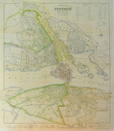
Stockholm - Mentzer ca 1860.

von Wulff - C. H. Tersmeden ca 1900.
Olaus Magnus text till den berömda kartan "Carta Marina".
Texten finns även pĺ katalanska, spanska och engelska.
Bureus karta över norden
Kartor och atlaser
Bilder och planschverk
Teckenförklaringar
"Short notice about the Covens et Mortier edition of de l'Isle's map of America."
Covers the continent of North America from the Baffin Bay southwards as far as the Spanish Main, westwards to Cape Mendocino, and eastwards to include the Azores and the Sargasso Sea.
Cartographically this map is practically identical to De L’Isle’s map though the title cartouche has been moved to the upper left quadrant and the mile scales to the upper right with a new curtain motif frame. Tooley, in his Mapping of America considers this to be a foundational map and indeed it is one of the most influential maps to emerge from the De L’Isle workshop.
Some consider this map to be one of the first to revert California to a peninsular state following the insular suppositions of the late 17th and early 18th centuries. However, this may be a misreading of the map. De L’Isle leaves the northern terminus of the Gulf of California open such that, though the form of California is suggestive of a peninsular state, should exploration prove the opposite, the cartographer was covered. On the west coast of California a false bay is notated though this may simply be a double mapping of the entrance to the Gulf of California. Further north along the coast San Diego, Seyo, Cape Mendocin, and Francis Drakes Port, and the English claim of New Albion are noted. Both Mexico and New Mexico are mapped with considerable sophistication with mines, indigenous peoples, mountains and river ways, and the missions of Santa Fe, Taos, and San Antonio de Senecu (El Paso) noted.
The Mississippi valley is well developed and based upon the most advanced French information available at the time. The forts of St. Louis, Bon Secours are noted, as is the settlement of d’Iberville at Bilochy. Following the Mississippi north we fine the Great Lakes beautifully drawn on the Coronelli model. The French stronghold on the region is evident with forts at Tadousac, Quebec, Sorel, Montreal, and Frontenac identified.
In an act of clear carto-advocacy De L’Isle confines the English colonies to the narrow strip of coastal lands east of the Alleghenies. The River and Fort of Kinibeki (Kennebec) is set as the northern border of English holdings in the region. Boston, Nantucket, Long Island, Manhattan, New Jersey, Pennsylvania, Jamestown, Roanoke, Charlestown, and St. Augustine, among others, are identified along the eastern seaboard.
At sea there are a couple of elements of note. This is the first printed mapping of the Sargasso Sea, here identified as the “Mer de Sargasse” where Icy flottent des herbes mais en montre quantite. Along the Mexican and California coastline the routes of various navigators including Olivier, Cortez, Gaetan, Mendonza, and Francis Drake are delineated.
Just to the east of Barbados, in the Antilles, a curious apocryphal island appears with the label “I. de Fonseca selon Quelquefuns”. This island, which is here surrounded by dangerous rocks and reefs, appears in several maps of the region as early as Hondius’ Americae Novissima Descriptio where is as identified as Y. de S. B. This island was also identified by M. Rochette with the label Galissioniere’s Rock. Other ships, including the Rainbow, claim to have seen the island as late as 1822. De L’Isle was the first to give the map a definite name, Fonseca. Even so, with so few sightings of the island it disappeared from most maps issued in the 18th century. There is some speculation that discolored water occasionally discharged by the nearby Orinoco River led to various false sightings of land.
