
Frisius, Gemma. [Reinerszoon, Jemme.]
9 december 1508 - 25 maj 1555.
Gemma Frisius was a physician, mathematician, cartographer, philosopher, and instrument maker. He created important globes, improved the mathematical instruments of his day and applied mathematics in new ways to surveying and navigation.
Frisius was born in Dokkum, Friesland (present-day Netherlands) of poor parents, who died when he was young. He moved to Groningen and studied at the University in Leuven beginning in 1525. He received the degree of MD in 1536 and remained on the faculty of medicine in Leuven for the rest of his life. His oldest son, Cornelius Gemma, edited a posthumous volume of his work and continued to work with Ptolemaic astrological models.
While still a student, Frisius set up a workshop to produce globes and mathematical instruments. He became noted for the quality and accuracy of his instruments, which were praised by Tycho Brahe, among others. In 1533, he described for the first time the method of triangulation still used today in surveying. Twenty years later, he was the first...
Bland arbeten.
(Cosmographia (1529) von Petrus Apianus, annotated by Gemma Frisius)
De principiis astronomiae et cosmographiae (1530)
De usu globi (1530)
Libellus de locorum describendorum ratione (1533)
Arithmeticae practicae methodus facilis (1540)
De annuli astronomici usu (1540)
De radio astronomico et geometrico (1545)
De astrolabio catholico (1556)
fl. 1706 - ca 1740.
Bookseller and printer in Brussels whose major work was a very large-scale map of Belgium and Luxembourg, much copied by other publishers.
1750-1823.
He was an English geographer (mapmaker) and member of the Arrowsmith family of geographers. He moved to Soho Square, London from Winston, County Durham when about twenty years of age, and was employed by John Gary, the engraver and led for some years the office of hydrographer to the king. In January 1790 he made himself famous by his large chart of the world on Mercator projection. Four years later he published another large map of the world on the globular projection, with a companion volume of explanation. The maps of North America (1796) and Scotland (1807) are the most celebrated of his many later productions. He left two sons, Aaron and Samuel, the elder of whom was the compiler of the Eton Comparative Atlas, of a Biblical atlas, and of various manuals of geography.
The business was thus carried on in company with John Arrowsmith (1790-1873), nephew of the elder Aaron. In 1821, they published a more complete North American map from a combination of a maps obtained from the Hudson Bay Company and Aaro...
Bland arbeten.
First map of North America, 1790
A Map Exhibiting All the New Discoveries in the Interior Parts of North America, January 1, 1795 (Other editions 1801, 1802, 1804 and 1816 featuring roads)
Chart of the South Pacific, 1798
A New Map of Africa, 1802
Map of Countries Round the North Pole, 1818
Ogden map (North America), 1821 (2nd edition : 1834)
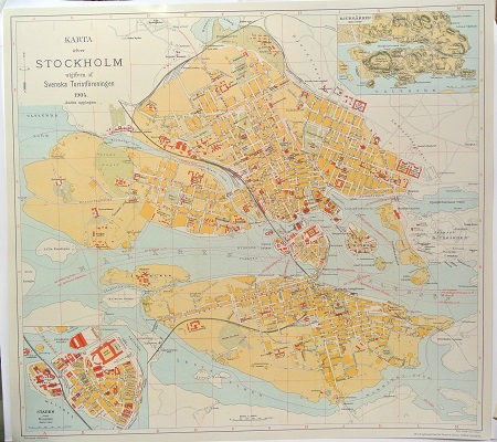
Karta öfver Stockholm. - 1904.

von Mirbach - Tyskland ca 1800.
