
1727–1795
One of the most important cartographers of the late 18th century.
In 1773 Bonne succeeded Jacques Nicolas Bellin as Royal Cartographer to France in the office of the Hydrographer at the Depôt de la Marine. Working in his official capacity, Bonne compiled some of the most detailed and accurate maps of the period. Bonne’s work represents an important step in the evolution of the cartographic ideology away from the decorative work of the 17th and early 18th century towards a more detail oriented and practical aesthetic. With regard to the rendering of terrain Bonne maps bear many stylistic similarities to those of his predecessor, Bellin. However, Bonne maps generally abandon such common 18th century decorative features such as hand coloring, elaborate decorative cartouches, and compass roses.
While mostly focusing on costal regions, the work of Bonne is highly regarded for its detail, historical importance, and overall aesthetic appeal.
Bland arbeten.
'Partie Occidentale du Canada'
1784-1870. Född i Nagu socken, Ĺbo och Björneborgs län, Finland, död i Stockholm.
Finsk-svensk officer och kartograf. Son till kaptenen Gabriel August Hagelberg och Anna Lovisa Qvick; u.ä.-dotter till fältmarskalken greve Augustin Ehrensvärd. Hagelstam utmärkte sig som officer i finska kriget och i sjömätningsarbeten. 1810 utnämnd till kapten i den nyupprättade Sjömätningskĺren, och avancerade senare till överste. 1814 var han den svenska regeringens kommissionär i Köpenhamn vid överlĺtelsen av norska kartor och andra arkivalier rörande Norge. Initiativtagare till Väddö kanal i Roslagen. Hagelstam utarbetade ett flertal kartor över Sverige och Norge, för detta arbete adlad 1818. Som riksdagsman var han en ivrig nykterhetsföresprĺkare och medverkade till att brännvinsskatten lades om 1855 och att husbehovsbränningen förbjöds 1860. Medlem av Krigsvetenskapsakademin och utgivare av flera militära skrifter om Sveriges kust- och havsförsvar. Hagelstam var gift med Eva Fredrika Burenstam (1791-1877), genom vilken han ärvde Stjärnsunds slott i Askersunds landsförsamling, som han 1823 sĺlde till k...
Bland arbeten.
Ska artikeln hit?
Var ansvarig för de ca 4200 geografiska artiklarna i Yverdon-encyclopedin.
Bland arbeten.
Encyclopédie ou dictionnaire universel raisonné des connaissances humaines.
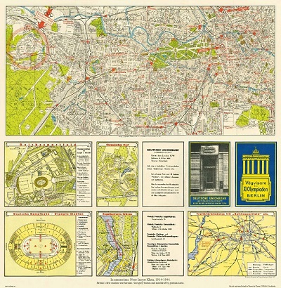
Vägvisare för XI Olympiaden i Berlin - 1936

Kronärtskocka - Olof Rudbeck.
