
Doctor Medicine & Mathematics, cartographer,
Bland arbeten.
Bentheim Blaeu 1635, 1649 & 1662;
Bentheim, Hondius 1633.
Tooley.
Död ca 1663.
Wolfgang Hartmann, död omkring 1663, var en tysk kopparstickare.
Hartmann inflyttade omkring 1644 till Sverige, närmast frĺn Riga och Rostock, och utförde här porträtt av bland andra drottning Kristina och Karl X Gustav, en stor utsikt av Stockholm samt illustrationer, bland annat för Keysers vapenbok.
Bland arbeten.
Porträtt, drottning Kristina.
Porträtt, Karl X Gustav.
Keysers vapenbok.
Panorama över Stockholm.
1703-72. Född i Paris, död i Versailles.
Fransk ingenjör och hydrograf. Som tjänsteman vid marinen fick han i uppdrag att rita kartor över alla kända kuststräckor. Han gick in för uppdraget med stor iver och gav 1753 ut 'Neptune francais', ett kartverk över den franska kusten. 1756 följde 'Hydrographie francaise' som innehöll sjökort över hela den kända världen, och 1764 utkom 'Petit Atlas maritime' i 5 band. Dessutom ritade han samtliga kartor för Prevosts stora 'Historie général des Voyages' och andra geografiska och historiska verk.
Bland arbeten.
Neptune francais.
Hydrographie francaise.
Petit Atlas maritime.
Historie général des Voyages.
Nouv. biogr. gen.
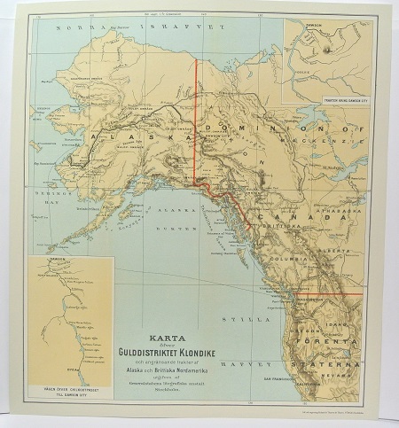
Gulddistriktet Klondike - ca 1897.

Sandlök, Allium vineale - Lindman, C. A. M, Bilder ur Nordens Flora 1917-26.
