
1841-1907. Född i Trondheim, död i Christiania (Oslo).
Norsk officer. Han blev 1864 officer, 1867 löjtnant i 2:a 'Akershusiske infanteribrigade' och 1883 kapten. 1897 blev han överstelöjtnant i 'Bergenske infanteribrigade'. Under ĺren 1867-76 arbetade han vid 'Norges Geografiske Opmaaling'. Hans kartor över Christiania (Oslo) bör ha fyllt ett djupt känt behov. Under 8 ĺr (1873-81) utkom de i inte mindre än 6 upplagor.
Militaerkalenderen. - Seue. - U.B.
1745-1808. Född i Rendsburg, död i Berlin.
Dansk-tysk historiker. 1762 blev han officer i artilleriet, 1773 kapten och 1785 major. 1778-79 deltog han i ett fälttĺg med den preussiska armén. 1787 tog han avsked frĺn dansk krigstjänst och gick över i preussisk. 1788 blev han direktör vid Ingeniörsakademiet i Potsdam, 1796 överste och 1800 generalmajor. 1777 utgav han 'Memoires d'artillerie' och 1785 'Almindeligt Udkast af Krigens Skueplads eller geographisk, topographisk og historisk Beskrivelse over Danmark, Norge og Sveriig.. som Inledning till Fredrik IV's KrigsHistorie'.
Bland arbeten.
Memoires d'artillerie.
Almindeligt Udkast af Krigens Skueplads eller geographisk, topographisk og historisk Beskrivelse over Danmark, Norge og Sveriig.. som Inledning till Fredrik IV's KrigsHistorie.
Ehrencron.
Often called 'Donis' from a misapprehension of the title 'Donnus' or 'Donus' an abbreviated form of 'Dominus.
A fifteenth-century cartographer, place of birth, and date of birth and death unknown. The first allusion to him of authentic date is an injunction of Duke Borso d'Este (15 March, 1466) to his referendary and privy counselor, Ludovico Casella, at Ferrara, to have the 'Cosmographia of Don Nicolň' thoroughly examined and then to determine a recompense for it. The duke, on the thirtieth of the same month, called upon his treasurers for 100 florins in gold 'to remit as a mark of his appreciation to Donnus Nicolaus Germanus for his excellent book entitled 'Cosmographia''. On 8 April, 1466, the duke again drew thirty golden florins to present to the Rev. Nicolaus, who 'in addition to that excellent Cosmography' (ultra illud excellens Cosmographie opus) had dedicated to the duke a calendar made to cover many years to come ('librum tacuini multorum annorum'). The 'Cosmographia' as preserved in the Biblioth...
FISCHER, Nicolaus Germanus in Entdeckungen der Normannen in Amerika (Freiburg, 1902), 75-90, 113 sqq. (Eng. tr., London, 1903), 72-86, 108 sqq.
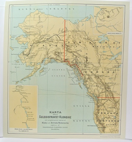
Gulddistriktet Klondike - ca 1897.

Eka - Nay 1881.
