

Amiral Häggs flaggkarta. - Stockholm 1888.

von Chemnitz - C. H. Tersmeden ca 1900.
East Coast of England, extending from Orfordness to Flamborough Head. - London 1853.
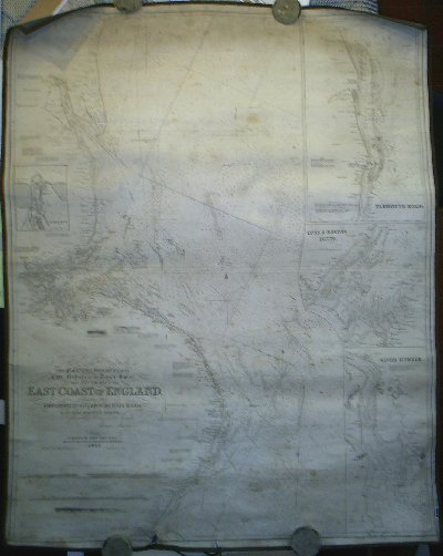
East Coast of England, extending from Orfordness to Flamborough Head.
To the Right Honorable The Masters, Wardens, and Elder Brethren of the Trinity House. This New Chart of the East Coast of England, extending from Orfordness to Flamborough head. Is most respectfully dedicated, By their obliged & very humble Servant James Imray.
London: Published by James Imray & son, Navigation Warehouse and Naval Academy, 102 Minories. 1853.
Additions to 1854
Infällda kort: 'Grimsby docks', 'Yarmouth roads', 'Lynn & Boston deeps.', River Humber'.
Koppargraverat sjökort på väv.
Storlek: 95x121 cm. Kartytans bredd x höjd.
Reparerad reva i nederkant. Smärre kartförlust i nederkant, ca 1x1 cm. Lätt fläckad.
Pris: 1500 SEK - 25168 - Se bild.
Atlanten, Europa - Nordatlanten, Västeuropa - Nordsjön, Storbritannien - , England
Magnifikt sjökort, och med tanke på dess ålder, välbevarat.
